
01
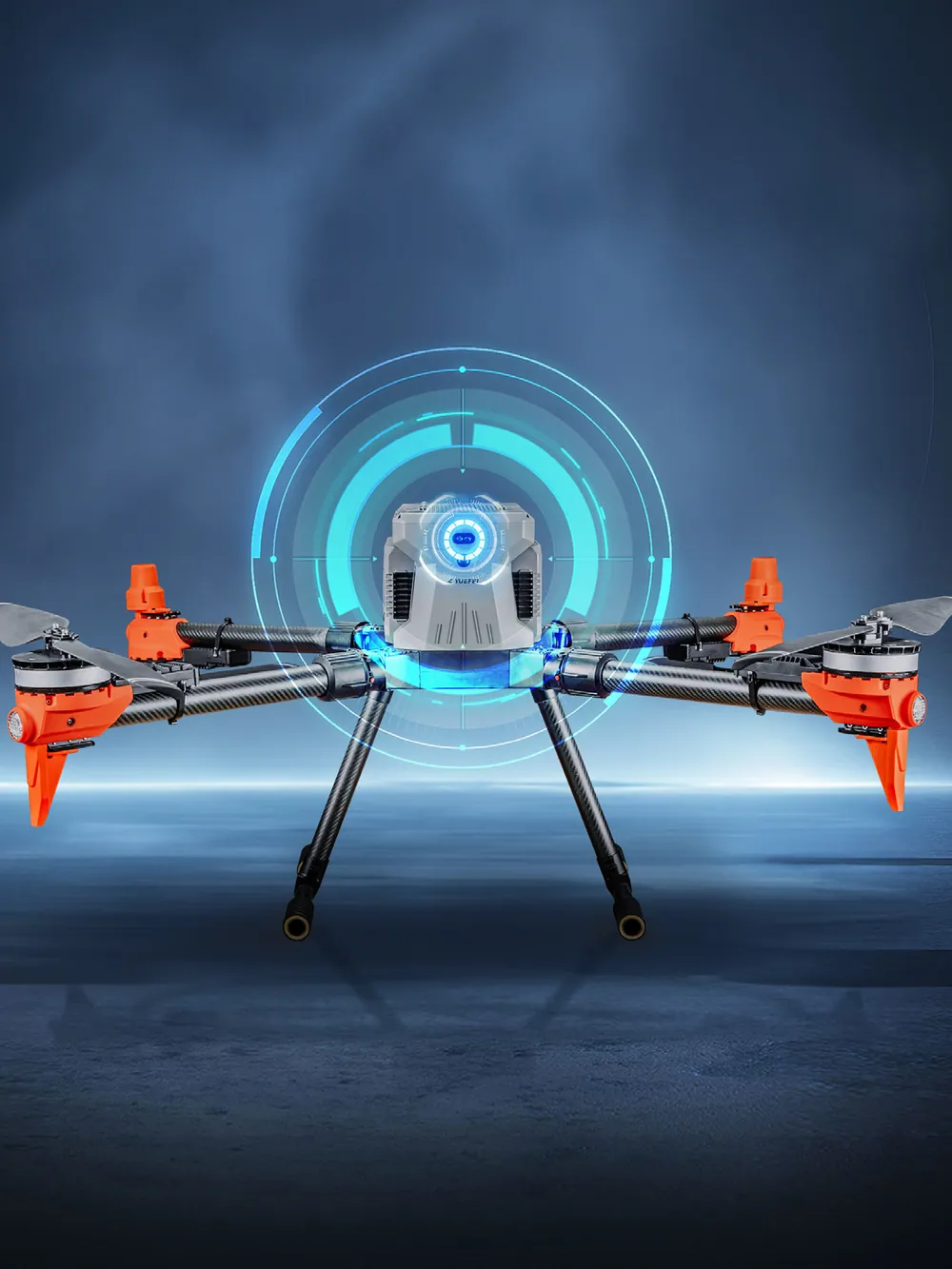
Dual radar and lidar
360° scanning lidar and millimetre-wave radar pick out thin obstacles — power lines, cables, branches — in rain and at night.
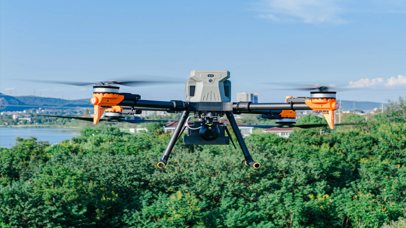
PD-U15 · Multi-mission platform
15 kg payload. 75 minutes aloft. One airframe for inspection, delivery and environmental sampling.
Overview
The U15 is a 15 kg-class quadcopter built to change roles without changing aircraft. Swap the sensor pod, the cargo box or the water sampler, and the same platform flies inspection rounds, drops supplies or collects environmental samples.
A 1,300 mm wheelbase folds into 455 × 630 × 540 mm for transport. Unfolded, it delivers 75 minutes of endurance with no payload and 31 minutes at the full 15 kg. Tethered power keeps it on station around the clock.
Dual radar, 360° lidar on the Pro edition and IP55 sealing let it work in rain, dust and darkness, from -20 °C to 50 °C, up to a 5,000 m service ceiling.
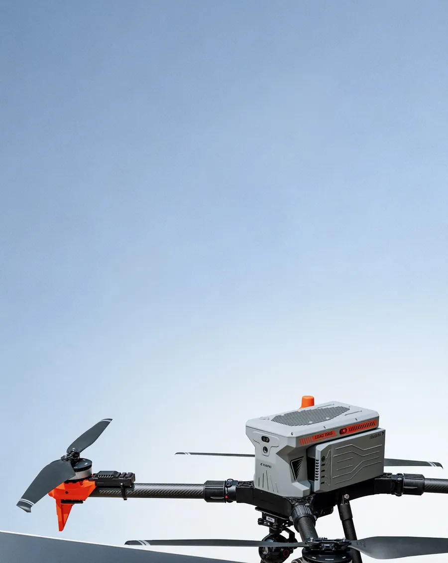
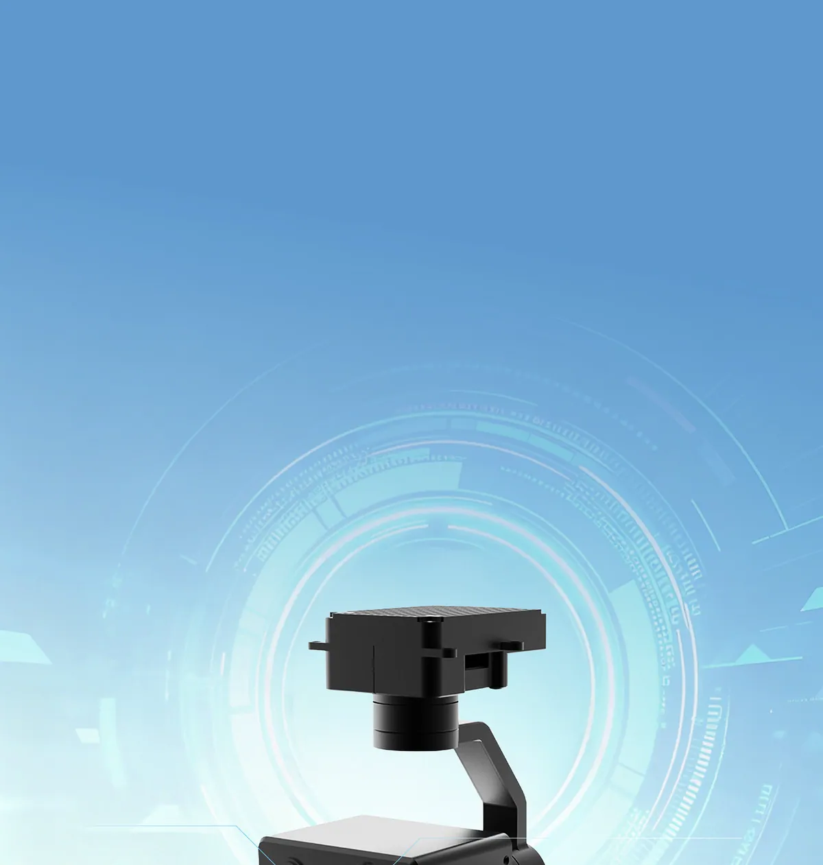
Payload · Four-sensor pod
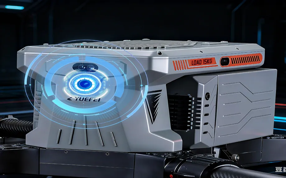
An 8K wide-angle camera, an 8K hybrid-zoom camera, a laser rangefinder and an infrared camera share a three-axis stabilised gimbal — so every target is captured in visible and thermal detail at the same moment.
8K wide-angle24 mm equivalent
One frame covers the whole site, so operators keep context instead of stitching panoramas.
8K hybrid zoom82–268 mm equivalent
Read a nameplate or an insulator from a safe stand-off distance.
Laser rangefinder5–1,200 m · ±0.5 m
Direct distance and coordinate measurement, with no separate sensor to calibrate.
Infrared camera9 mm / 19 mm lens
Thermal detection of people, vehicles and heat sources, day or night.
Endurance
Every kilogram you leave behind buys minutes on station. Plan missions from the published curve instead of guessing after takeoff.
Payload versus flight time
Gradient endurance reduces return-to-home time, expands operational range and raises sortie throughput.
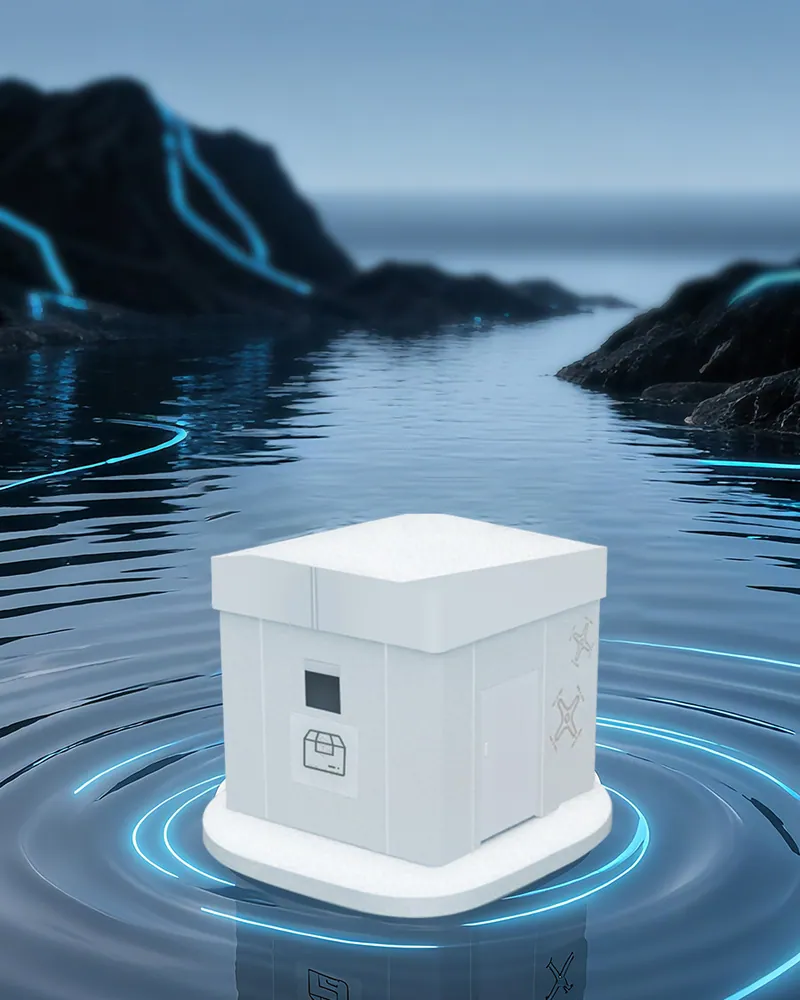
A mooring box feeds the aircraft from the ground for continuous surveillance, emergency communications and event coverage — no battery swap, no landing.
Safety
Radar and lidar see through rain, fog and darkness. The airframe is sealed against dust, sand and water.
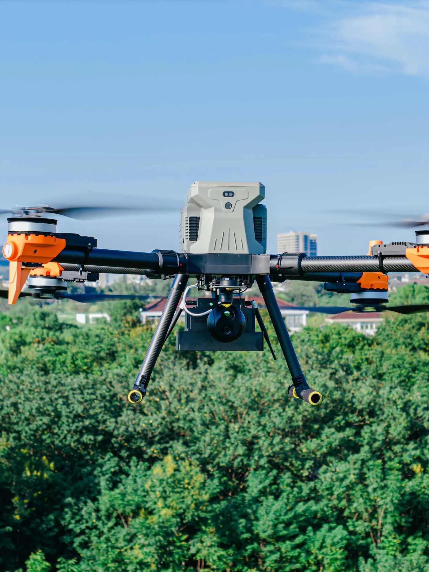
360° scanning lidar and millimetre-wave radar pick out thin obstacles — power lines, cables, branches — in rain and at night.
Automatic in-place locking with audible mechanical feedback, so the arms are confirmed before every takeoff.
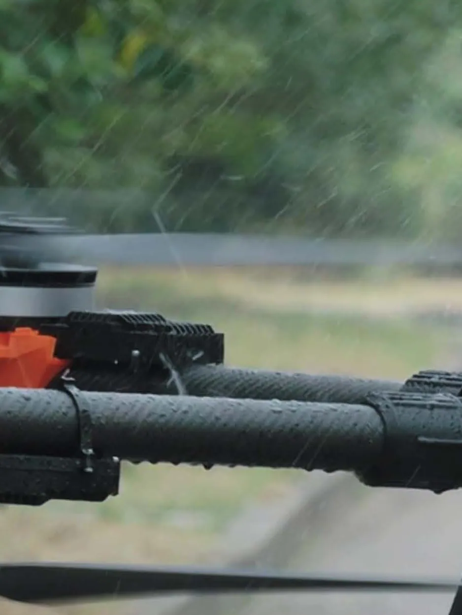
Sealed against dust, sand and rain, rated from -20 °C to 50 °C and level-6 winds with gusts to level 7.
A dedicated forward camera for manual approach and landing when the situation calls for eyes instead of automation.
Autonomy
Onboard compute turns sensor data into a decision: 6 TOPS on the Standard edition, 67 TOPS on the Pro.
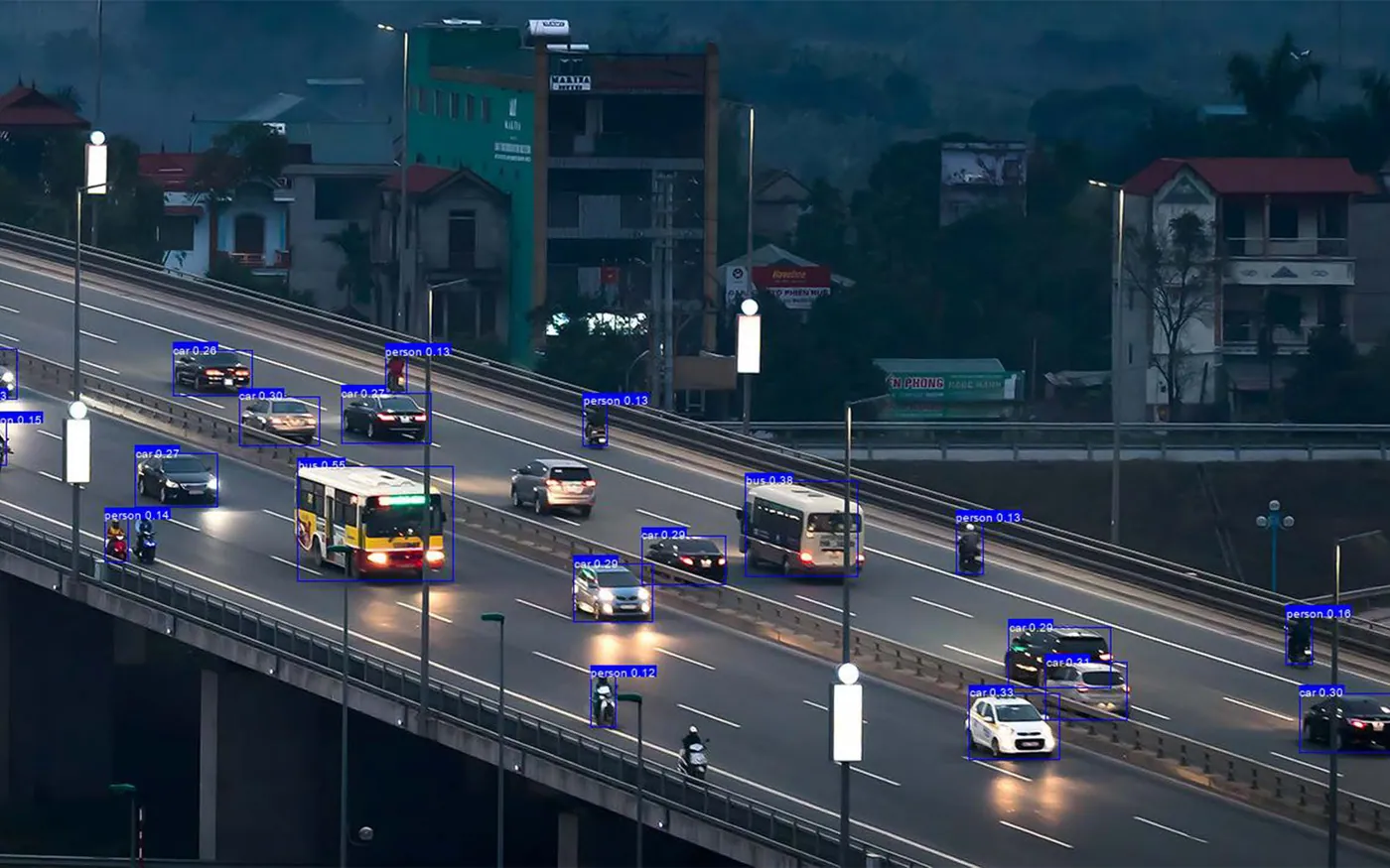
People, vehicles, fire and smoke are detected in visible and thermal imagery, then held as a track.
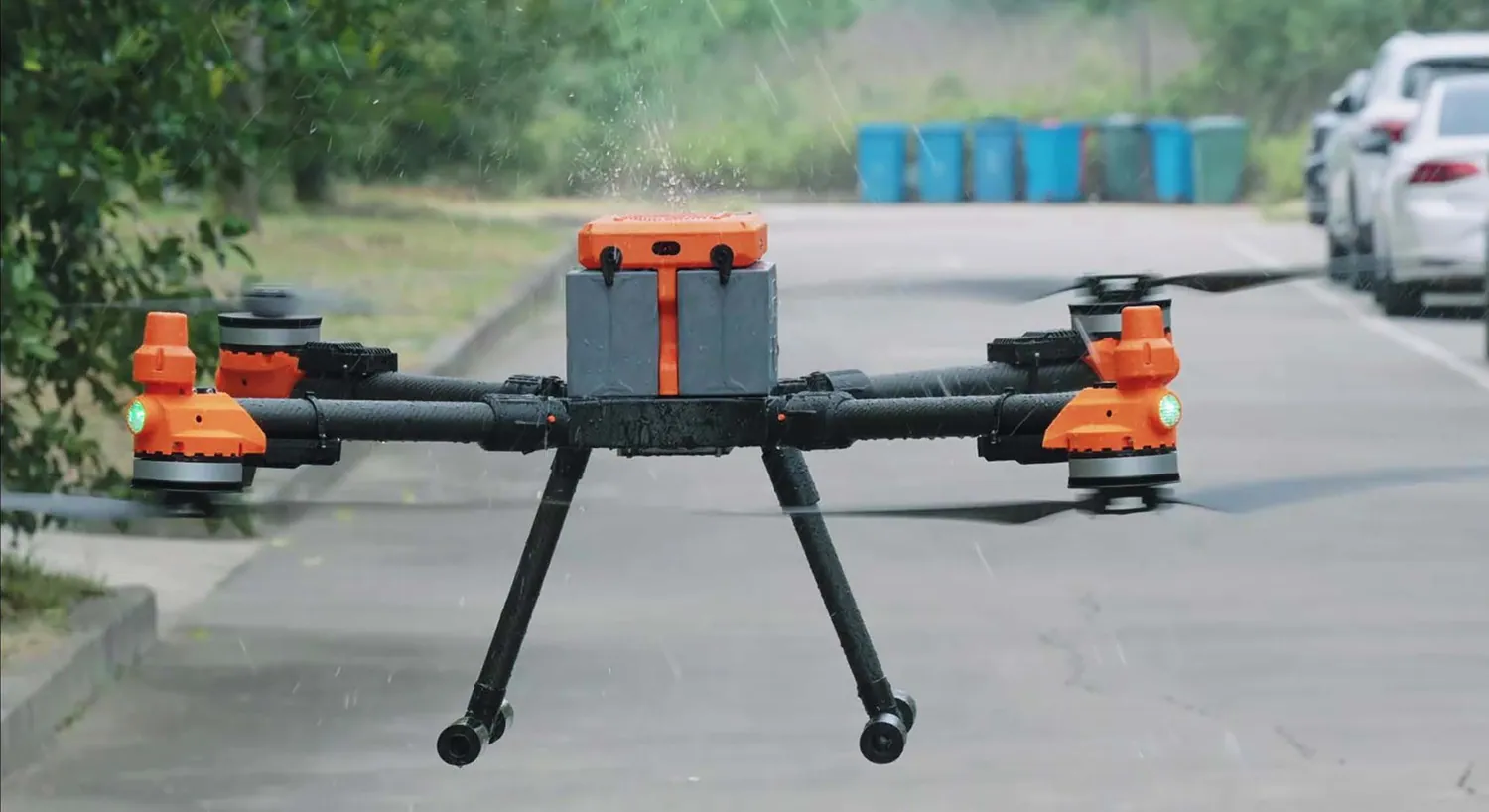
Fixed-point drops for a marked pad, or dynamic drops onto a moving vehicle. AI tracking keeps the lock in cluttered environments.
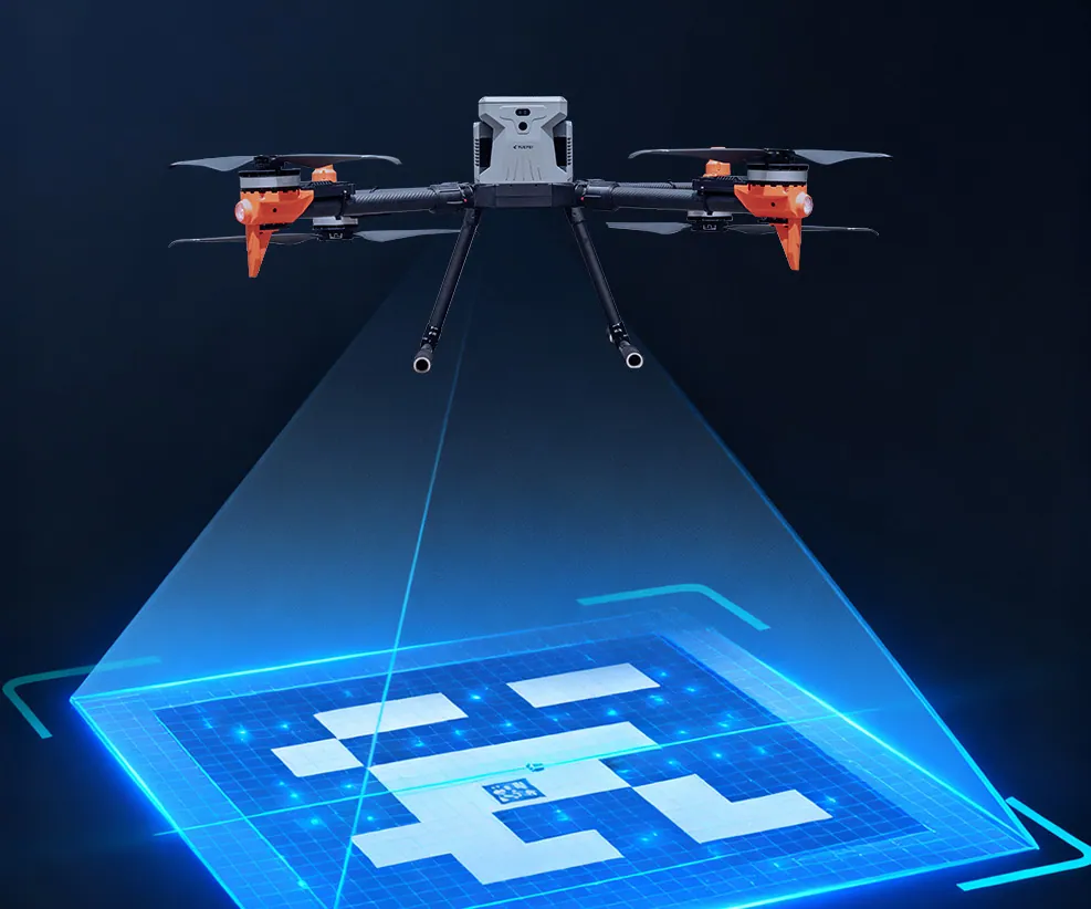
A calibration plate absorbs deck motion, so the aircraft docks onto cabinets, trucks and vessels at centimetre level.
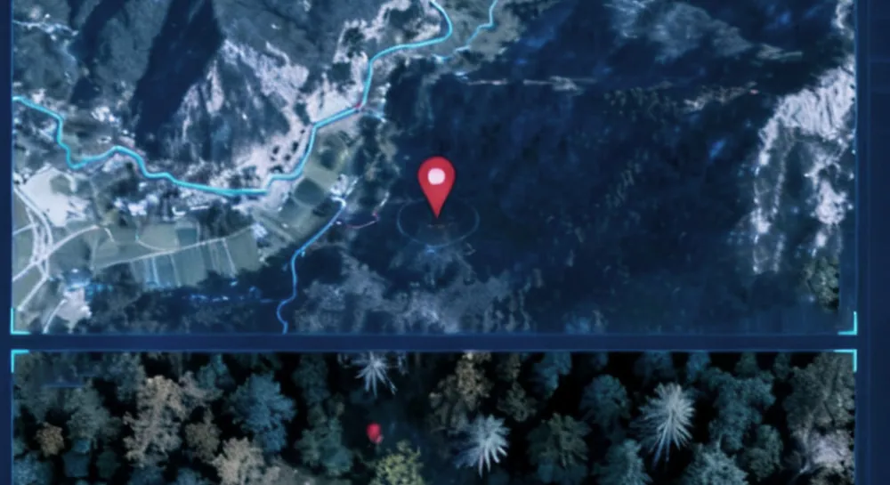
Target coordinates, latitude, longitude and distance are reported live on the ground station without an extra sensor.
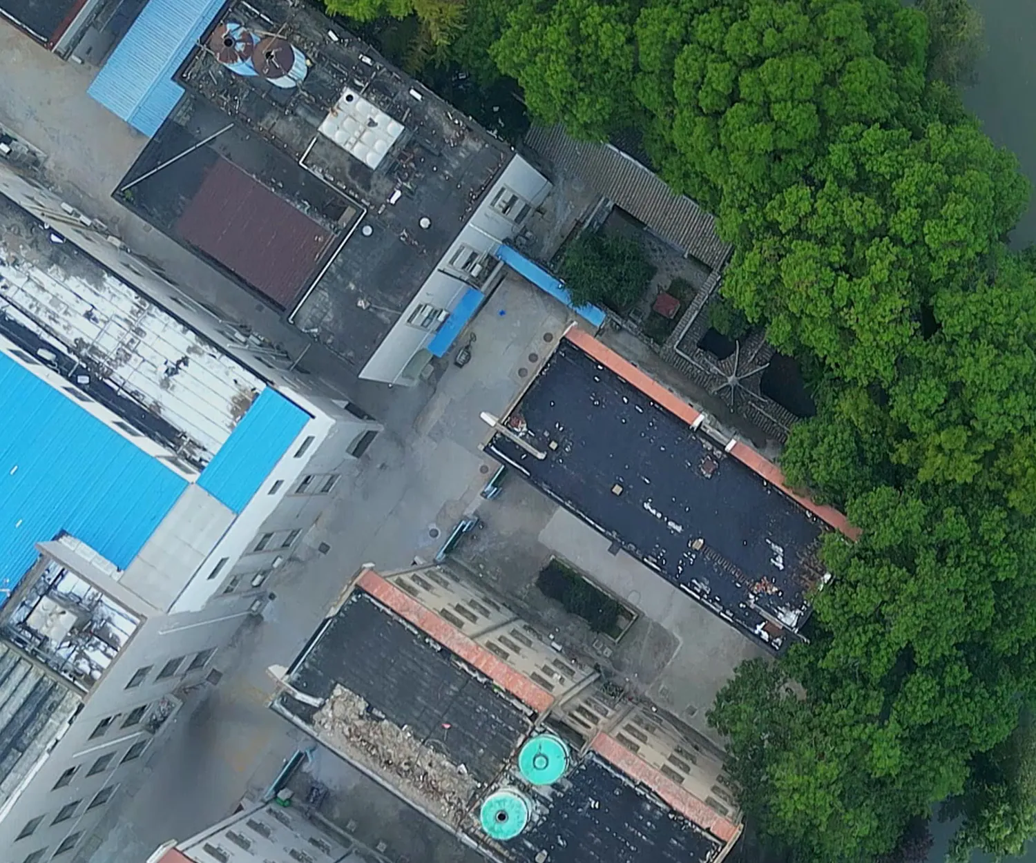
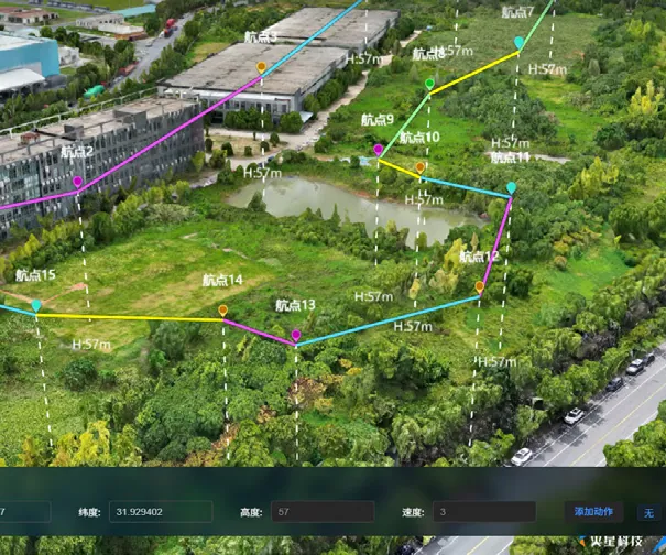
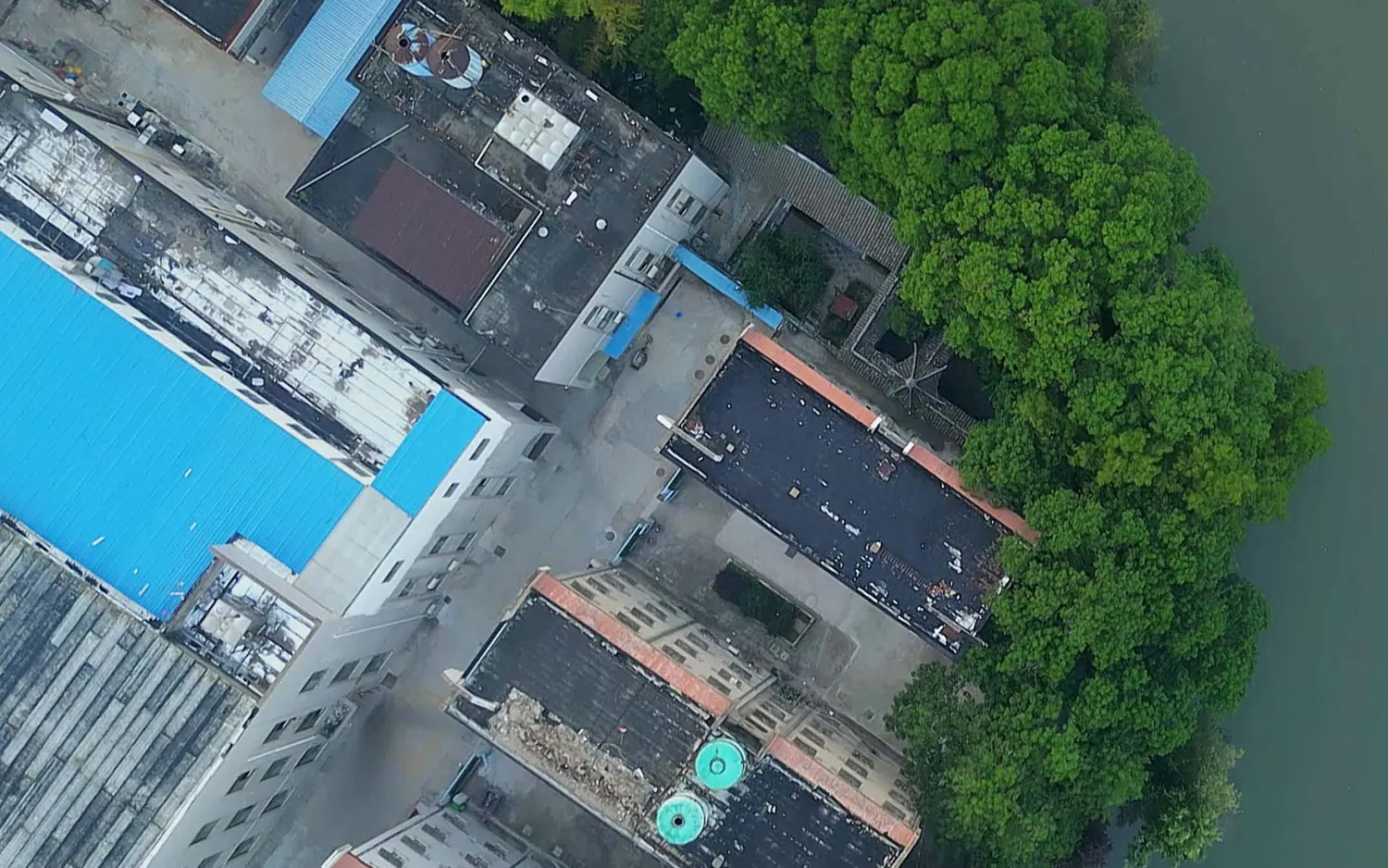
Real-time terrain perception trims height above canopy, ridge and slope for close-ground transit.
Ground control
One operator can fly a single aircraft precisely, or schedule a fleet across a site.
Remote takeoff and landing, command flight and multi-drone coordination from one console.
Virtual cockpit with keyboard or joystick, live attitude and payload control.
Efficient command network with private, offline deployment on domestic servers.
3D route planning, scheduling and data review, with large-model assistance for complex sites.
Payload ecosystem
The U15 changes role in the field. Every payload below mounts to the same interface.
8K wide, 8K zoom, laser and thermal
High-output illumination for night search
Live broadcast and evacuation messages
Sealed cargo box with remote release
Single-point release for sling loads
Softens impact when flying over people
Detects and traces methane leaks
Water-surface velocity measurement
Tethered power for continuous flight
Multi-gas sniffing for confined sites
Line deployment for rescue access
Airborne 4G/5G base station
Availability varies by region. Confirm the configuration for your deployment with Partdro.
Applications
One platform, six recurring missions — each flown with a payload change, not a new aircraft.
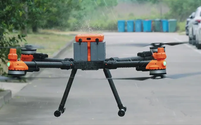
Move 15 kg of spares, samples or medical stock between sites, cabinets and vehicles. No road, no driver.
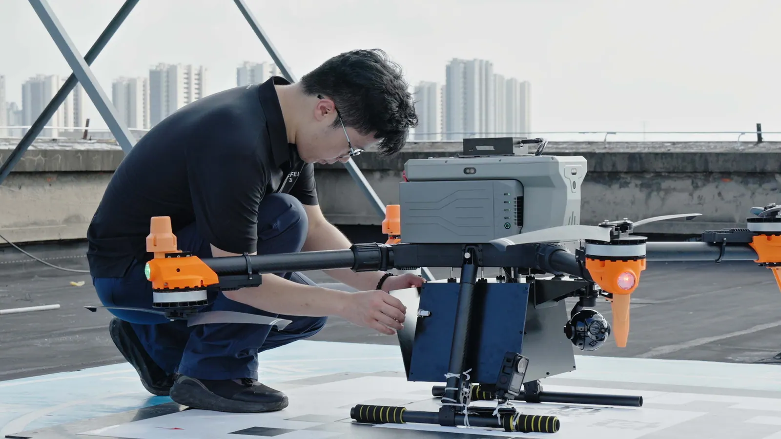
Fly defined routes over substations, pipelines and rooftops with the four-sensor pod.
Searchlight, loudspeaker and thermal imaging on one aircraft during the first hour of an incident.
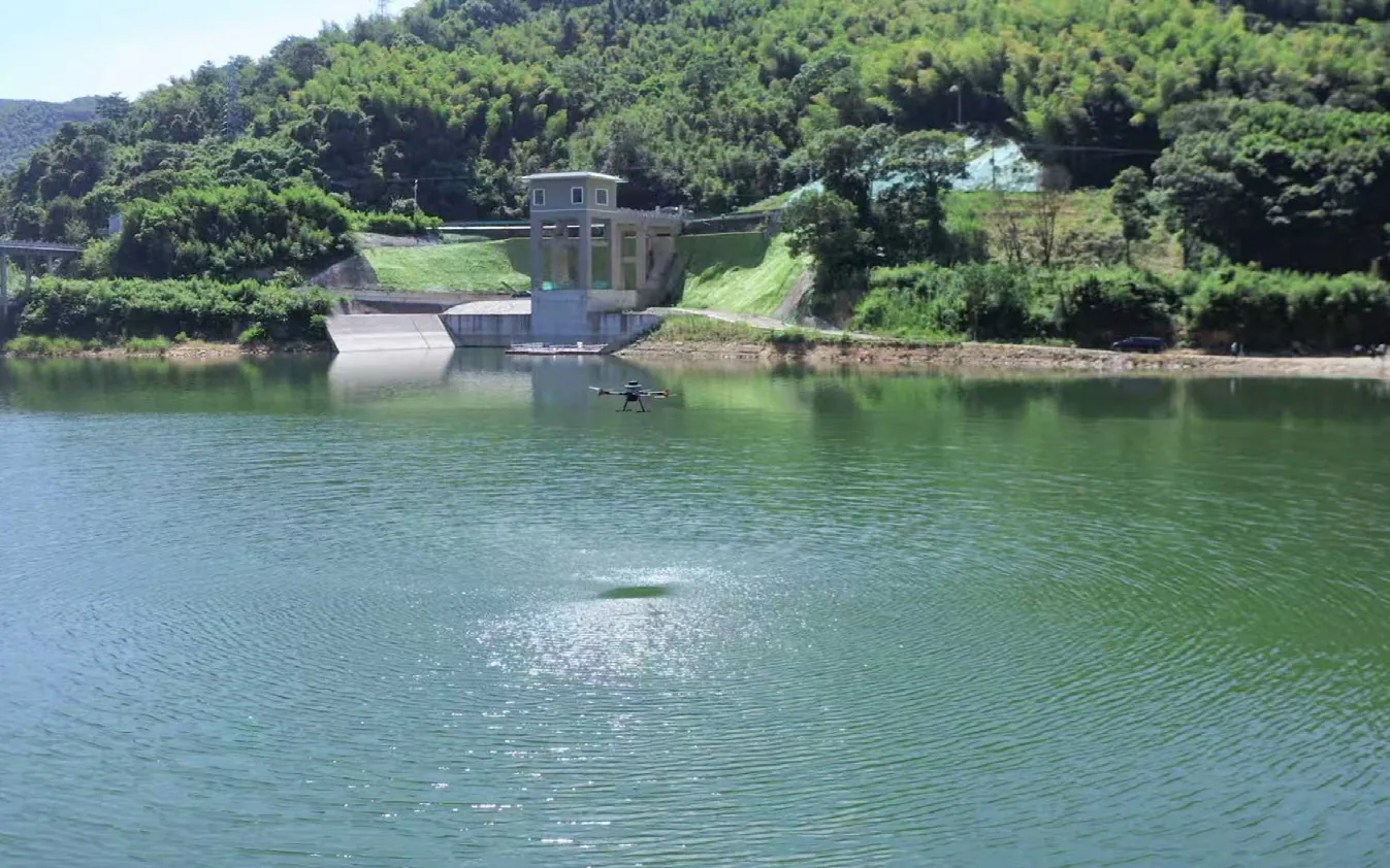
Collect surface-water samples and measure flow without a boat or a fixed sampling station.
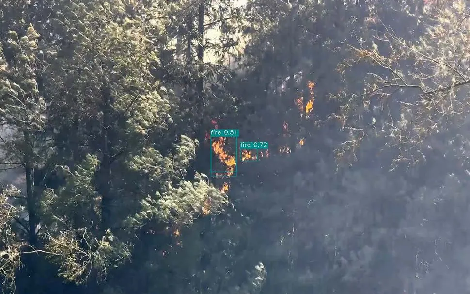
Detect heat sources and methane leaks before crews enter the affected area.
Radar and lidar hold a stable position in darkness, rain and fog.
Field demo
A full autonomous mission on a reservoir: takeoff, transit, sample collection, return and landing.
Reservoir sampling · autonomous flight · no operator intervention
Deployments
Reference deployments from the platform's field programme.
Scheduled transport of medical supplies between a regional hospital and its satellite sites.
01Routine surface-water sampling for a water and environment group, replacing boat-based collection.
02Airborne search and detection support for emergency response teams.
03Editions
Same airframe, same payload. The difference is what the aircraft can compute and perceive on its own.
| Feature | U15 StandardRequest a quote | U15 ProRequest a quote |
|---|---|---|
| Max payload | 15 kg | 15 kg |
| Batteries | 2 × ES15 smart battery | 2 × ES15 smart battery |
| Remote controller | Included | Included |
| Packaging and charging | Trolley case and charging dock | Trolley case and charging dock |
| Insurance and platform | Third-party liability cover, 1-year platform | Third-party liability cover, 1-year platform |
| Onboard compute | 6 TOPS | 67 TOPS |
| AI model | Lightweight — person, vehicle, fire | Medium — higher precision, complex scenes |
| Obstacle avoidance | Four-direction laser | 360° lidar and millimetre-wave radar |
| Visual function | Monocular ranging | Monocular ranging |
| Cloud control | Not included | 4G/5G direct cloud control |
Aircraft × 1 · ES15 battery × 2 · remote controller × 1 · charger × 1 · trolley case × 1 · 1-year control platform · third-party liability insurance × 1 year · lightweight AI model · 6 TOPS compute module.
Specifications
| Aircraft type | Quadcopter UAV |
|---|---|
| Power category | Electric |
| Wheelbase | 1,300 mm |
| Dimensions (unfolded) | 1,050 × 1,030 × 540 mm |
| Dimensions (folded) | 455 × 630 × 540 mm |
| Max payload | 15 kg |
| Endurance, no payload | 75 min |
| Endurance, full payload | 31 min |
| Max climb speed | 20 m/s |
| Max descent speed | 5 m/s |
| Service ceiling | 5,000 m (high-altitude propellers required) |
| Wind resistance | Level 6, gusts to level 7 |
| Navigation | GPS / BeiDou with RTK |
| Operating temperature | -20 °C to 50 °C |
| Communication range | 15 km, unobstructed and interference free |
| Ingress protection | IP55 |
| Standard sensors | FPV camera, GPS, RTK |
| Payload interface | Quick-release bay, 12 compatible payloads |
FAQ
Up to 15 kg on the standard airframe. Twelve payloads share the same quick-release bay, including the four-sensor gimbal pod, logistics box, searchlight, loudspeaker, parachute, methane telemeter, water flow velocimeter, gas detector and an airborne emergency communications station.
75 minutes with no payload, 54 minutes at 5 kg, 41 minutes at 10 kg and 31 minutes at the full 15 kg. With a mooring box providing tethered power, the aircraft can stay on station continuously.
The direct link reaches 15 km in unobstructed, interference-free conditions. The Pro edition adds 4G/5G cloud control for operations beyond that range, subject to local approvals.
Yes. The airframe is IP55 rated against dust, sand and rain, operates from -20 °C to 50 °C, and is rated for level-6 winds with gusts to level 7.
Onboard compute rises from 6 TOPS to 67 TOPS, the AI model moves from lightweight to medium precision, obstacle avoidance moves from four-direction laser to 360° lidar plus millimetre-wave radar, and the Pro adds 4G/5G direct cloud control.
Yes. Visual precision landing uses a calibration plate to absorb deck and vehicle motion and docks at centimetre level. Dynamic drops onto moving targets are supported in the delivery workflow.
Approval depends on your jurisdiction. Partdro supports operators with documentation and configuration choices, but the operator remains responsible for local permits and flight rules.
One aircraft, two ES15 smart batteries, one remote controller, a charger, a trolley case, a one-year control platform licence, one year of third-party liability insurance and the lightweight AI model with a 6 TOPS compute module.
Send the configuration, region and expected mission profile through the quote form on this page. Our team replies within one business day with pricing, lead time and shipping options.
Global pricing, tailored to you
U15 pricing depends on edition, payload set, region and deployment scale. Tell us what the aircraft has to do, and our team will come back with a tailored offer.
* Check, confirm and strictly comply with local laws and regulations before flying.
** All videos and images on this page were captured in compliance with applicable local regulations. Confirm the aircraft has the required permits before flying.
*** Product appearance is subject to the shipped unit. Please load within the weight status shown in the control app; otherwise flight safety may be affected.
1. Endurance is measured at equivalent sea-level altitude, 25 °C ambient temperature and windless conditions, until the battery was depleted and a forced landing occurred. Results vary with environment, payload, usage and firmware.
2. The 15 km communication distance was measured outdoors in open, interference-free conditions and represents the maximum one-way, no-return distance. Watch return-to-home prompts in the app during actual flights.
3. The 5,000 m service ceiling requires high-altitude propeller blades. Payload capacity decreases as takeoff altitude increases; quoted payload figures are measured at sea level.
4. AI recognition, target tracking and terrain following are assistive functions. Operators remain responsible for flight safety and must monitor the environment at all times.